
Realtime Kinematics and NTRIP
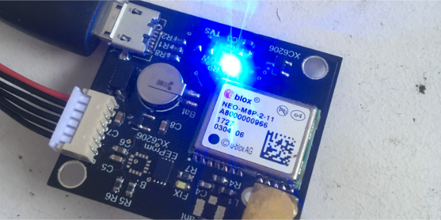


Real-Time Kinematics (RTK) GPS is a precise positioning technology that enhances the accuracy of standard GPS systems by utilizing additional information from reference stations. Traditional GPS receivers provide location information with an accuracy ranging from a few meters to several tens of meters. However, RTK GPS offers centimeter-level accuracy by employing a base station that continuously collects data from satellites and transmits correction signals to the rover receiver in real time. These correction signals compensate for atmospheric delays and other error sources, allowing the rover to calculate its position with exceptional precision. RTK GPS finds applications in various industries, including surveying, precision agriculture, construction, and autonomous navigation. Its high accuracy and real-time capabilities enable tasks such as land surveying, machine guidance, and UAV navigation with unparalleled precision, revolutionizing industries that require precise positioning information.
Find the repository with all the source files from above repo